

Routes through the mountain
Routes through the mountain
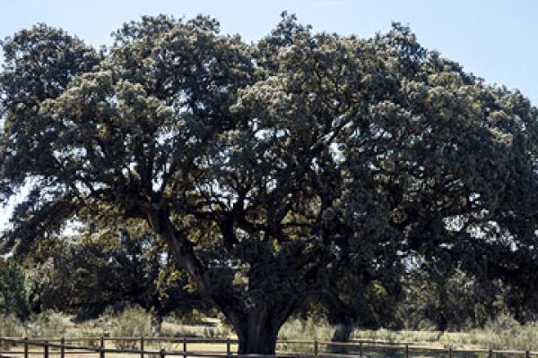
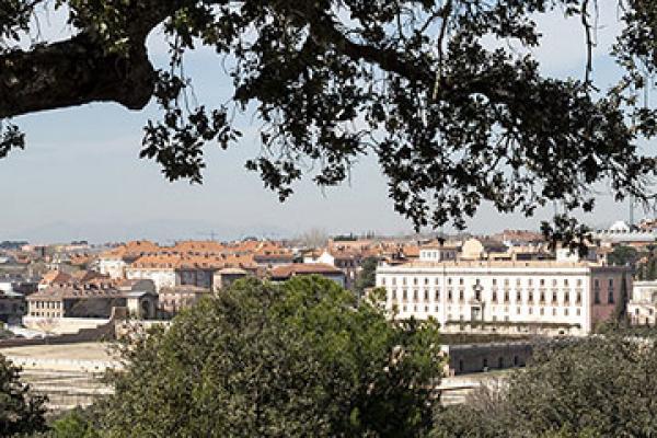
The trees are located in the Valle de Valenoso, Monte de Boadilla, and in the urban area
17 km.
On foot: 6-6.5 h. Bicycle: 3.5 h.
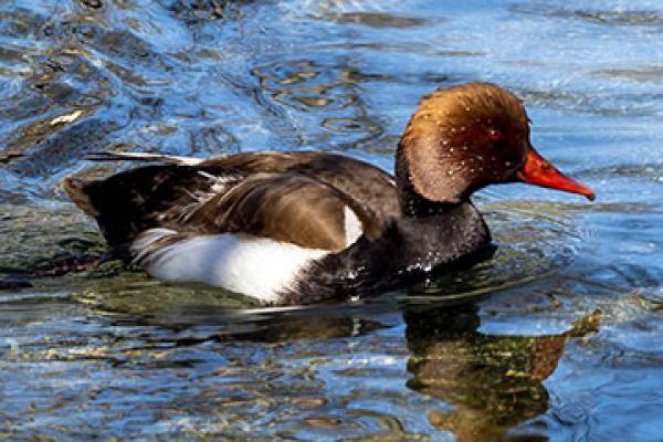
The birdwatching route offers visitors good opportunities to spot the birds that inhabit and enrich the Monte de Boadilla
2.4 km
On foot: 1.5 – 2 h
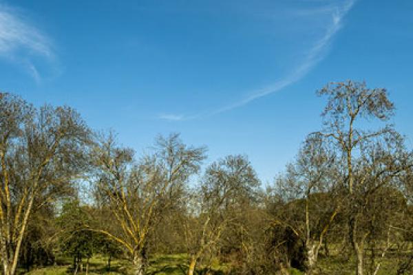
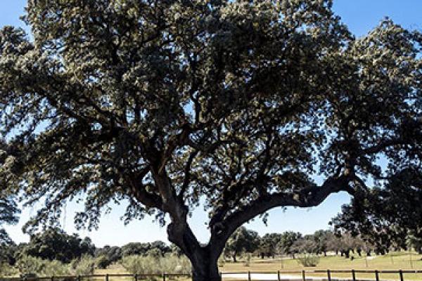
A loop route focused on interpretation of the bank's vegetation and the Mediterranean ecosystem around the Arroyo de la Fresneda area
2,74 km.
On foot: 45 min. Bicycle: Bicycles are not allowed on part of the path.
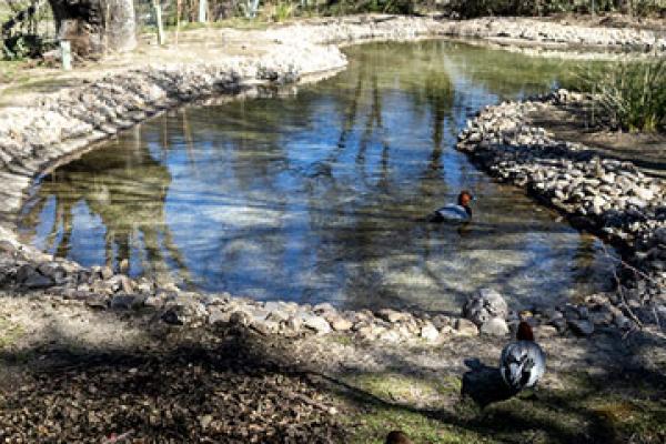
A loop route traced around the Palacio del Infante Don Luis, featuring a series of landscape elements related to the use of water, such as the Fuente del Caño (fountain), ponds and pool
4 km.
On foot: 1.5 h. Bicycle: 50 min.
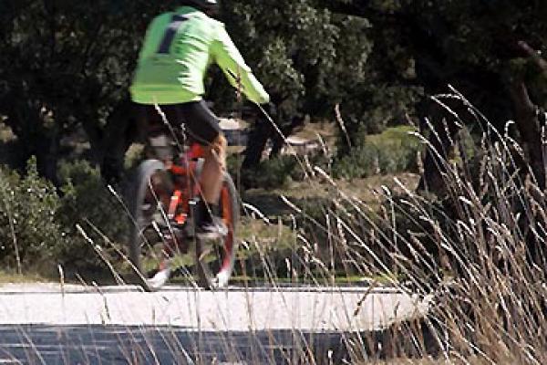
Alternative trails that run along the forest tracks established in the Monte de Boadilla, and the municipality's bike path.
19 km.
19km route in Monte de Boadilla. 16 km on bike path in Boadilla.
Loop route in Boadilla's Monte Sure, from the Arroyo del Nacedero to the Montepríncipe housing development.
5,73 km.
On foot 2-2.15h. / Bicycle 1-1.15h.
The Wildlife Trail is a loop route that runs through the Monte Norte, a woodland stretching between the highway from Boadilla to Majadahonda (M516) and the Boadilla-Pozuelo highway (M513)
7.7 Km.
On foot 3-3.15h / Bicycle1.5h.
Loop route in the Monte Sur: Arroyo de la Fresneda - Urbanización Montepríncipe - Vereda del Alajillo - Casa de la Buena Vista
5 km.
On foot 2h. / Bicycle 1h.